
3D Scanning services
3DLS delivers 3D scanning services that map buildings, installations and processes as-built, efficiently and accurately, using laser scanning technology. Each scan produces a point cloud and 3D photographic data that can be measured directly. With over 20 years of experience and more than 2,000,000 m² scanned, we are a VCA* 2017/6.0 certified specialist for industry, construction and architecture.
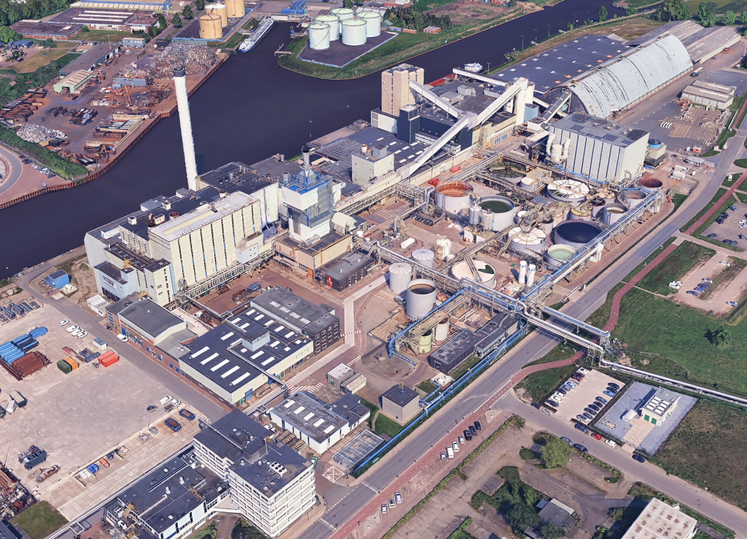
Starting from a pioneering role in this field, we have scanned over 1,500,000 m² of process plants, factories, buildings, installations, conveyor systems, manufacturing processes, ships, and more — quickly and accurately — over the past 20 years. The resulting point cloud contains highly valuable data that can be processed in various ways. Efficient and targeted extraction of this data is our expertise, and we distinguish ourselves through professionalism and specialized tools.
What our 3D scanning services include
- On-site laser scanning with our fifth-generation FARO scanners
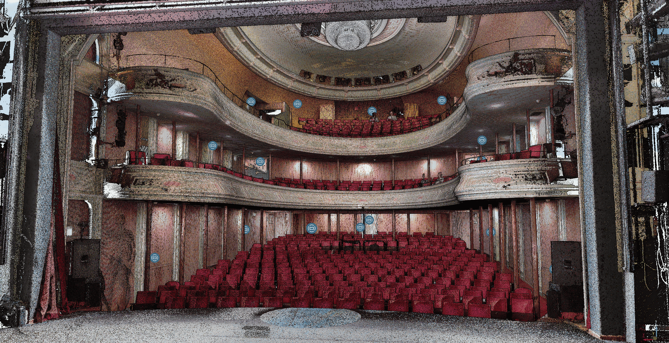
- Delivery of a point cloud, the 3D model in which measurements can be taken
directly - Optional conversion to 3D CAD or BIM models
- Cloud sharing through Webshare, a Google Street View style environment
- Scanning in ATEX zone 2 environments, VCA* 2017/6.0 certified
Industries we serve
- Process industry and factories
- Buildings and architecture
- Infrastructure
- Ships
See our recent projects
Interested in our 3D scanning services?
Call or email us and inquire about the possibilities. Do you challenge us with your question? Let us know and get in touch.
Frequently asked questions about our 3D scanning services
What do 3DLS’s 3D scanning services include?
Our 3D scanning services include on-site laser scanning, delivery of a point cloud, optional conversion to a 3D CAD or BIM model, and cloud sharing through Webshare.
Can 3DLS provide 3D scanning services in ATEX zone 2 environments?
Yes, our scanners are certified for use in ATEX zone 2, gas groups IIA, IIB and IIC, temperature classes T1 through T4. 3DLS itself is VCA* 2017/6.0 certified.
How accurate are your 3D scanning services?
Accuracy ranges from ±0.1 mm for object scanning to ±1 mm within a scan of buildings and process installations, up to a few centimeters for drone mapping.
In which file formats do you deliver the scan data?
We typically deliver point clouds in .RCP, .E57 or .PTX. Other formats are possible on request, depending on the software you use.
Which industries do you serve with your 3D scanning services?
We mainly serve the process industry, construction, architecture, infrastructure and shipping, mapping buildings, installations and processes as-built.
 Read more...