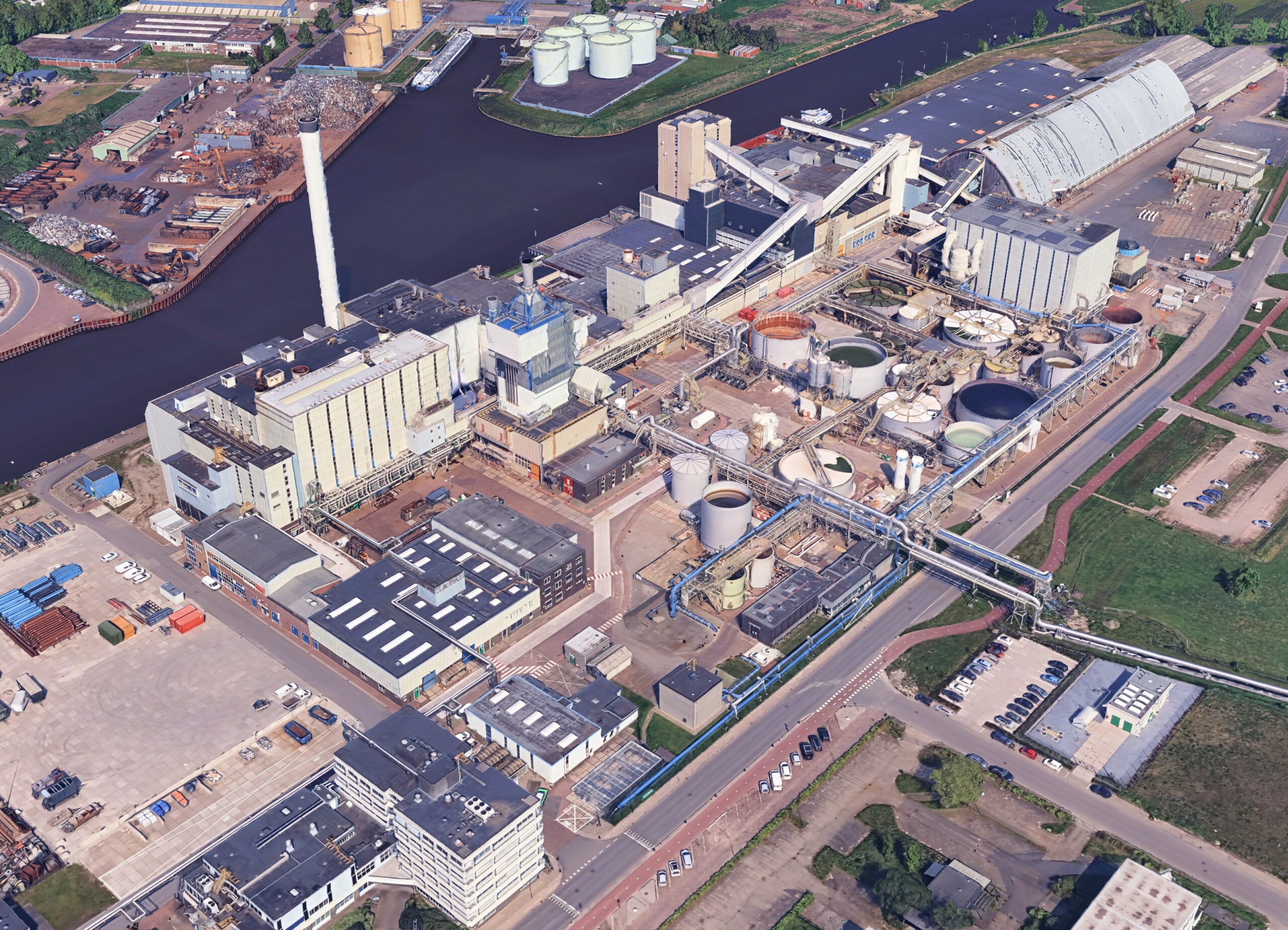
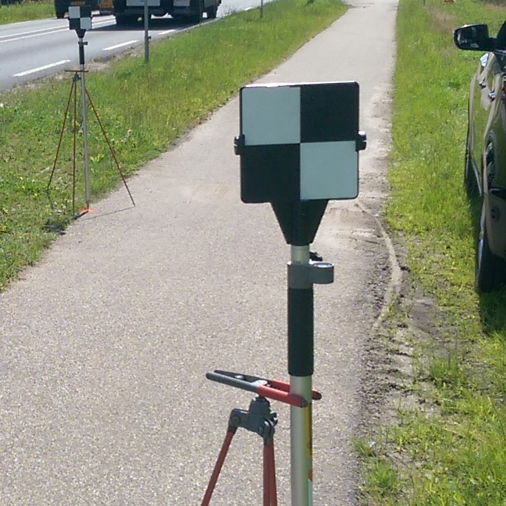
Local Grid scanning

3d scan daglicht

The accuracy of the linked scans can be further increased by means of additional Tachymetric measurements of reference points or GPS location determination. This also makes it possible to link to the well-known RD system of national coordinates.

Local Grid scanning as a solution for the future

It is a fact that industrial plant projects are becoming bigger, and global attention to the plant as a construct is increasing. And space arrangement in plant projects is inefficient because of the complex structure of required facilities (e.g.,installations, specialized tools, etc.,). Furthermore, problems during installation, operation, and maintenance stages caused by inconsistencies between floor plans and actual layout are on the rise.

3DLS adresses these complexities caused by changes during plant construction and securing space for the installation of equipment during the construction and lifecycle of built facilities. 3D cloud point data of space and equipment will be collected using our Faro Focus Premium 3D laser scanner to conduct space matching.

Please feel free to contact us for more information.